
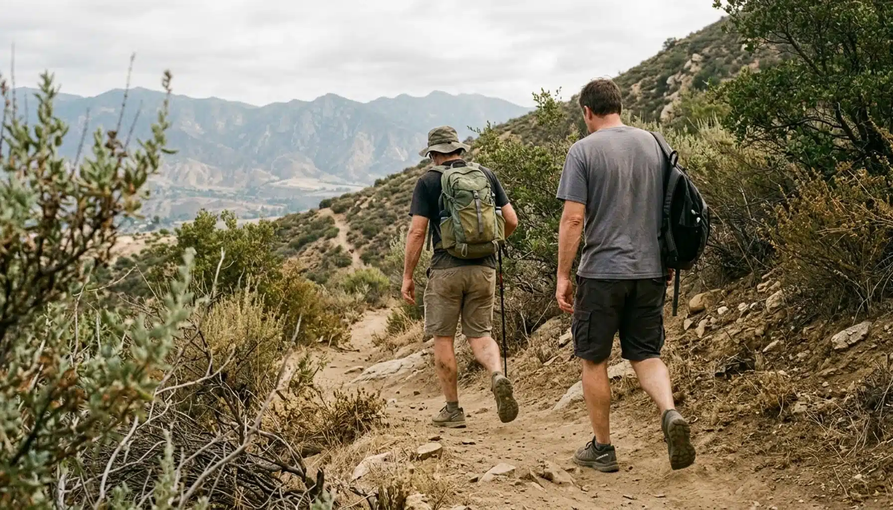
Ojai hiking ranges from flat loops at Ojai Meadows Preserve to ridge climbs of roughly 6 miles in Los Padres National Forest. Start with Shelf Road (3.5 miles round trip, easy) or the 3.2-mile Fox/Luci’s Loop at Valley View Preserve, and save the big ridge routes for the cooler months between fall and spring.
Key Takeaways
- The Ojai Valley Land Conservancy (OVLC) maintains 27 miles of trails across roughly 2,300 acres of open space, so most Ojai hiking starts on conservancy preserves.
- Shelf Road is a 3.5-mile round trip rated easy, about an hour at a brisk pace. Valley View’s Fox/Luci’s Loop is 3.2 miles, and John’s Fox Canyon climbs 800 feet in its first mile.
- Ridge routes such as Gridley Trail 22W05 (listed at 5.9 miles, 3,840 feet elevation) and Pratt Trail reach Nordhoff Ridge. Published mileage differs by source, so confirm whether a figure is one way or round trip.
- Ojai Meadows Preserve in Meiners Oaks is the flattest option, with short loops and interpretive signs.
- Check OVLC’s trail updates before every outing, and start ridge and canyon routes at sunrise from late spring through early fall.
At Ojai Vacation Home, a two-acre citrus and avocado orchard on Ojai’s East End, we field the same question from guests every season: which trail, and when? The honest answer changes with the month and the group. This guide sorts Ojai hiking by difficulty and by season so you can match the route to your trip.
Trail information also needs a caution. Local guides disagree on mileage for the same route, and some of the best-known write-ups are years old. In this 2026 guide, every distance is labeled by its basis (one way, round trip, or loop) and credited to the source that published it.
You will also find the practical gaps most trail lists skip: accessibility notes, dog and bike rules, parking realities, closures, and the seasonal hazards that decide whether a canyon hike is a good idea in July.

What Are the Best Ojai Hiking Trails by Difficulty?
Ojai hiking trails fall into three practical tiers: flat preserve walks, moderate foothill loops of roughly 3 to 5 miles, and ridge climbs that gain 1,000 feet or more. The Ojai Valley Land Conservancy manages most of the first two tiers, while Los Padres National Forest holds the third. The table labels each distance by its basis.
| Trail | Distance and basis | Terrain notes | Difficulty |
|---|---|---|---|
| Ojai Meadows Preserve | Short loops | Flat, accessible, interpretive signs on restoration, history and wildlife | Easy |
| Shelf Road | 3.5 miles round trip | About an hour at a brisk pace; access from North Signal Street or Gridley Road | Easy |
| Ojai Valley Trail | 16 miles one way, Fox Street to Ventura | Maximum grade of 3% | Easy grade, long distance |
| Fox/Luci’s Loop, Valley View Preserve | 3.2-mile loop | John’s Fox Canyon climbs 800 feet in the first mile; Luci’s Trail is 0.75 mile of switchbacks | Moderate, steep in places |
| Rice Canyon and Wills Canyon, Ventura River Preserve | 4.5-mile route from Oso Trailhead | Well marked, varied terrain | Not rated by OVLC |
| Cozy Dell Trail | 1.9 miles to Cozy Dell Creek | About 640 feet of climbing | Moderate |
| Pratt Trail | 4.4 miles to Nordhoff Ridge (Ojai Festival guide); 6.8 miles round trip with 2,101 feet of gain (Ojai Valley Escapes) | Climbs to the ridge | Moderate to strenuous |
| Gridley Trail 22W05 | 5.9 miles listed by the Forest Service; 3 miles to Gridley Springs and 6 to Nordhoff Peak (Ojai Festival guide) | 3,840 feet elevation; about 1,200 feet of gain to the springs | Moderate |
| Middle Fork of Matilija Canyon | Up to 7 miles one way (14 round trip) | Leads toward the Three Falls of the Matilija | Long day, not rated |
Two entries deserve a flag. Pratt Trail appears as 4.4 miles to the ridge in one local guide and as 6.8 miles round trip in another, which points to different endpoints. The Forest Service page for Gridley Trail 22W05 lists 5.9 miles without saying one way or round trip. Treat both as ranges and confirm with the land manager.
When Is the Best Season for Ojai Hiking in 2026?
The Ojai hiking season is the cooler stretch, typically November through May, when valley temperatures are comfortable and canyon creeks have the best chance of running. Summer and early fall bring heat that makes exposed ridges like Pratt and Gridley punishing after mid-morning. In 2026, match the trail to the month, not the other way around.
Winter and spring reward the effort. Rain greens the hills and fills creeks, which makes Cozy Dell Creek and the Matilija Canyon route far better objectives. Storms can also close trails or turn fire roads to mud, so check the OVLC trail updates page the morning you go.
Summer belongs to sunrise. Shelf Road and the first stretch of the Ojai Valley Trail work best before 9am, and the afternoon is for hammocks. Check-out at our house is 11am, so a Shelf Road loop at first light fits before you pack the car.
Fall is dry and warm, and wildfire conditions can close forest areas with little notice. Our guides to Ojai weather by month and the best time to visit Ojai cover temperature swings and packing in more detail.
What Are the Best Easy Hikes Near Ojai for Beginners?
Easy hikes near Ojai are routes with little elevation gain, clear paths, and short distances. Ojai Meadows Preserve, Shelf Road, and the first few miles of the Ojai Valley Trail stand out. All three suit first-time hikers, and none requires a summit commitment or a full day.
Ojai Meadows Preserve sits next to Nordhoff High School in Meiners Oaks. The trails are flat, the loops are short, and signs explain the wetland restoration and local wildlife. Bring binoculars; the conservancy lists it as a birding spot.
Accessibility needs more than the single word “accessible.” Published guides skip surface type, restroom locations, and stroller suitability. If you are bringing a mobility device, call OVLC at (805) 649-6852 before you go.
Shelf Road is a 3.5-mile round trip, rated easy, and takes about an hour at a brisk pace. You can start from North Signal Street or Gridley Road. Parking near neighborhood entrances tends to be tight, so go early on weekends.
The Ojai Valley Trail runs 16 miles one way from the end of Fox Street to the Pacific in Ventura, at a maximum grade of 3%. Do not try to walk all of it. Pick a mile or two out and back.
Which Ojai Hiking Trails Work Best With Kids?
The best Ojai trails for kids are short, interesting at eye level, and easy to cut short. Ojai Meadows Preserve is the safest first choice for toddlers and young children, while Luci’s Trail and Cozy Dell suit older kids who can handle a steady climb.
Luci’s Trail at Valley View Preserve is 0.75 mile of switchbacks, short and steep by the conservancy’s own description. Kids who like a challenge enjoy it; kids who do not will complain by the second turn. Cozy Dell Trail is 1.9 miles to Cozy Dell Creek with about 640 feet of climbing, so save it for children who have hiked before.
Our longer list of best hikes near Ojai for beginners and families covers more kid-friendly options. Back at the East End, the orchard property gives a mixed-age group room to spread out, with a clay tennis court, a ping pong table, hammocks and picnic tables under the trees.
Are There Mountains in Ojai, and Which Trails Climb Them?
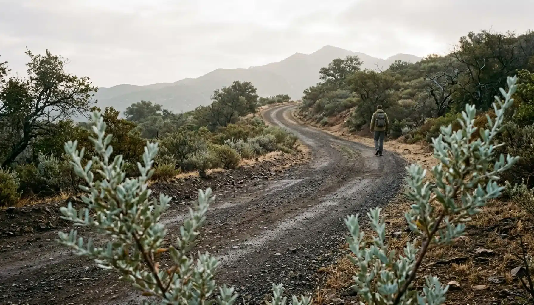
Yes. Ojai sits at the foot of steep ridgelines in Los Padres National Forest, and Nordhoff Ridge and Nordhoff Peak form the skyline above town. Gridley Trail and Pratt Trail both climb toward Nordhoff Ridge, and Chief Peak is a longer forest objective.
Gridley Trail 22W05 begins at the north end of Gridley Road. Forest Service directions say to continue onto W Ojai Avenue, turn left on Gridley Road, and drive 3 miles. The route is listed at 3,840 feet elevation and moderate difficulty. A local guide puts Gridley Springs at 3 miles with about 1,200 feet of gain.
Pratt Trail starts north of town: follow Signal Street about 1.2 miles to a Forest Service sign, then another half mile to the trailhead. My pick for a first ridge day is Gridley, because the springs make a natural turnaround point at 3 miles. Pratt asks for more commitment on a steeper line.
For the full route breakdown, our Chief Peak hike guide covers the trailhead, difficulty and best season. Check Los Padres National Forest for current access and conditions before you drive out.
Which Ojai Hiking Trails Lead to Waterfalls or Swimming Holes?
Ojai waterfall hikes depend almost entirely on rainfall, so the Middle Fork of Matilija Canyon route toward the Three Falls of the Matilija is a winter and spring objective, not a summer one. Water levels change from year to year, and a dry season can leave the canyon with only scattered pools.
The Middle Fork route is up to 7 miles one way, or 14 miles round trip, reached by taking Highway 33 to Matilija Canyon Road. That is a full day with creek crossings. The write-up that describes it is an older local guide, so verify access and conditions before you commit.
For a shorter water payoff, Cozy Dell Trail reaches Cozy Dell Creek at 1.9 miles. The turnout is on Highway 33, 3.3 miles east of town, near the Friend’s Ranch packing house.
Do not plan a trip around swimming. Creek pools are cold and rocky, nobody supervises them, and flow can disappear by early summer. Treat a swim as a bonus if the water is running.
Where Can You Get a Map of Ojai Hiking Trails?
The most current map for Ojai preserve trails is OVLC’s interactive Trail Finder, which covers the 27 miles of trails the conservancy maintains. For forest routes like Gridley, the Forest Service trail pages carry directions and statistics.
Each preserve has its own page. Valley View Preserve covers 195 acres above town, with John’s Fox Canyon, Foothill and Luci’s trails connecting toward the national forest. Ventura River Preserve spans 1,600 acres with more than 12 miles of paths along the river bottom, up ridges and through shaded canyons. The 4.5-mile Rice Canyon and Wills Canyon route starts at Oso Trailhead.
Download your map before you leave. Cell service can drop in canyons, and a screenshot of the trail page costs nothing.
What Are the Dog, Bike, Parking and Closure Rules on Ojai Trails?
Trail rules in Ojai depend on the land manager: OVLC preserves, Los Padres National Forest, and city or county paths each set their own policies on dogs, bicycles, horses, parking and closures. Because the rules vary by site, check the specific preserve or forest page before you load the car.
Dogs: Rules differ by preserve and by forest trail, and guides rarely spell them out route by route. Look at the page for each trail you plan to use, and carry water for your dog on any exposed route.
Bikes and horses: OVLC lists a horse restriction at Ojai Meadows Preserve. For cyclists, the Ojai Valley Trail’s 3% maximum grade makes it the gentlest long route in the valley.
Parking and fees: Small neighborhood entrances like the Signal Street access have limited parking, so arrive early. Some forest trailheads may require a recreation pass or posted fee, so confirm on the Forest Service page.
Closures: The OVLC trail updates page is the quickest way to see which preserves are open. Check it on the day, not the week before.
Is Ojai Hiking Safe for Everyone?
Ojai hiking is safe for most people with basic preparation, but heat, exposure and steep climbs matter more here than the modest trail distances suggest. Match the route to your group’s fitness, carry more water than you expect to drink, and turn around early if conditions change.
Heat and Sun: Chaparral slopes offer little shade. From late spring through early fall, start before sunrise or choose Ojai Meadows, and wear a hat and sunscreen.
Water: Plan on carrying your own on every route. Creeks may be dry, and untreated creek water is not a safe plan.
Creek Crossings and Rain: Crossings on canyon routes like Matilija can rise quickly after storms. If the water is moving fast or above your ankles, turn back.
Poison Oak and Wildlife: Poison oak grows along many canyon trails, so wear long pants on narrow, brushy paths. Stay alert for rattlesnakes in warm months and give them space.
Fire Closures: Forest areas can close during high fire danger. Check Los Padres National Forest before you drive.
Physical Fitness and Who Should Check with a Doctor First: Gridley and Pratt gain over 1,000 feet. If you have a heart or breathing condition, or you are new to steep climbs, talk to your doctor and start with Shelf Road.
How Many Days Do You Need for an Ojai Hiking Trip?
Three nights is a sound plan for an Ojai hiking trip. In 2026, Ventura County recorded 3.344 million visitors, and the average stay was 3.2 nights, according to data from Visit California and Dean Runyan Associates. That window fits two good hikes and one slow day.
- Arrival day: Check in after 4:00pm. If you arrive early, walk a short loop at Ojai Meadows Preserve first.
- Full day: Start early on the Fox/Luci’s Loop or Gridley Trail to Gridley Springs, then rest the afternoon.
- Departure day: Do the Shelf Road round trip at first light, then pack and check out by 11am.
If you can add a fourth night, use it for the Matilija Canyon route in a wet winter or spring.
Where Should You Stay for Ojai Hiking on the East End?
The best base for Ojai hiking lets you rest well after a climb. Ojai Vacation Home, nicknamed Pixie Palace, is a one-story ranch home on two acres of citrus and avocado orchard on Ojai’s East End.
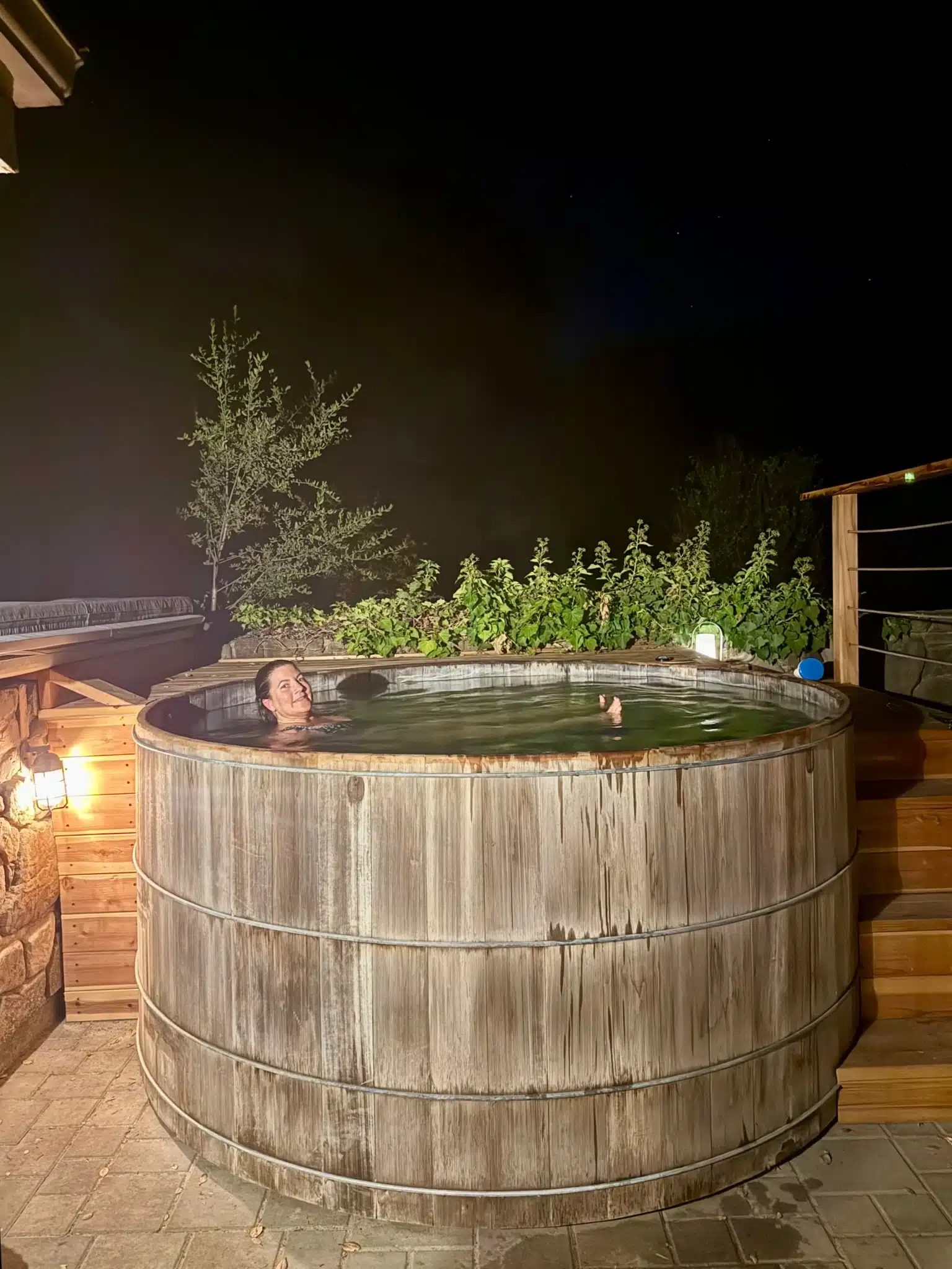
It has 2 bedrooms, 2 bathrooms, and sleeps up to 5 guests. After a hike, the 8-foot redwood hot tub, the clay tennis court, the hammocks and the fire pit give you real options for recovery. Ping pong and an indoor hanging swing keep a group entertained. It is also pet friendly; confirm pet details when you book.
Ojai’s water is very hard, and calcium can leave white residue on dishes and shower surfaces. The house has a filtration system with filtered drinking water in the kitchen and whole-house filtration for showers and sinks, so you can rinse off trail dust comfortably. The rental is legally permitted through Ventura County, and the whole house is for your group alone.
The orchard grows pixie tangerines, Meyer and Eureka lemons, oranges, pomegranates, a Hachiya persimmon and macadamia nuts, and harvest timing varies by season. For a closer look at what an orchard stay feels like, read life on an Ojai ranch.
What Is There to Do in Ojai, CA, After a Hike?
After a hike in Ojai, most visitors head for a slow meal or downtown shopping. The valley has plenty to fill a half day, from coffee on Ojai Avenue to the tasting rooms and restaurants that cluster downtown.
Start with breakfast or coffee; our list of best coffee shops in Ojai covers slow mornings before a trailhead. The Ojai Visitors site lists current local events.
If you would rather skip the restaurant wait after a long hike, you can arrange a private chef through yhangry for a casual BBQ or a multi-course meal at the property. Our owner is also available during your stay to recommend restaurants.
What Is the Best Way to Plan Ojai Hiking in 2026?
The best approach to Ojai hiking in 2026 is simple: pick the trail by season, start early in warm months, confirm mileage with the land manager, and check trail updates the morning you go. Shelf Road and the Fox/Luci’s Loop cover most visitors, and Gridley Springs makes a rewarding first ridge day.
Whatever brings you to the Ojai Valley, a trail plan matched to the month can make the difference between a good trip and a memorable one. And when it’s time to rest after a day of hiking, a quiet orchard property on the East End makes the evening better.
If a quiet orchard escape with room for your group sounds like what you’re planning, take a closer look at Ojai Vacation Home. After a long day on the ridge, the redwood hot tub is hard to beat. You can check current dates and details here, since availability and pricing change.
Frequently Asked Questions
How long is the Shelf Road hike in Ojai?
Shelf Road is a 3.5-mile round trip, rated easy by the Ojai Festival’s local hiking guide. At a brisk pace it takes about an hour. You can access it from North Signal Street or Gridley Road.
What are the best easy hikes near Ojai for beginners?
Ojai Meadows Preserve, Shelf Road, and the first stretch of the Ojai Valley Trail are the best starting points for beginners. Ojai Meadows has flat loops with interpretive signs. Shelf Road adds a longer walk above town, and the Ojai Valley Trail has a maximum grade of 3%.
Which trails work best for families with kids?
Ojai Meadows Preserve is the easiest choice for young children. Luci’s Trail is a short, steep 0.75 mile for kids who like a challenge, and Cozy Dell Trail (1.9 miles to the creek) suits older kids who can handle about 640 feet of climbing.
What Ojai hiking trails have waterfalls or swimming holes?
The Middle Fork of Matilija Canyon route leads toward the Three Falls of the Matilija, up to 7 miles one way. Cozy Dell Creek is a shorter option at 1.9 miles. Water depends on rainfall, so winter and spring are the best seasons; do not count on swimming.
Where can I get a map of Ojai hiking trails?
Use OVLC’s interactive Trail Finder for preserve trails, and the Forest Service trail pages for routes like Gridley Trail 22W05. Download or screenshot the map before you hike, because cell service can be patchy in canyons.
Are there vacation rentals available in Ojai, California?
Ojai Vacation Home is a Ventura County-permitted vacation rental on a two-acre orchard on Ojai’s East End, with 2 bedrooms, 2 bathrooms, and room for up to 5 guests. Availability changes, so check current dates on the booking site. Ventura County requires a permit for short-term rentals, so confirm any rental you consider is permitted.
Which is the best place to stay for Ojai hiking?
Ojai Vacation Home offers a private orchard base on Ojai’s East End with a redwood hot tub, a clay tennis court, hammocks and filtered shower water. It sleeps up to 5 and is pet friendly. When comparing options, look at trailhead access, recovery amenities, and whether the rental is permitted.
Content powered by inkSTR.co